

 Web Content Display
FORBIOSENSING AND REMBIOFOR PROJECTS ON EARSEL SUMMER SCHOOL AND CONFERENCE IN CRACOW
The members of ForBioSensing and REMBIOFOR projects also took part in the event.
During the first day of the Summer School there was carried out a workshop with terrestrial laser scanner (TLS), conducted by EngD Bartłomiej Kraszewski and EngD Grzegorz Zajączkowski. There was also a workshop on methodology of performing and compiling hyperspectral ground measurement, conducted by MSc Aneta Modzelewska and MSc Martyna Wietecha.
On 14th September, EngD Krzysztof Stereńczak, EngD Bartłomiej Kraszewski and Eng Rafał Sadkowski held a workshop on possibilities of using R (programming language) for processing data collected from laser scanning derived from unmanned aerial vehicle (UAV).
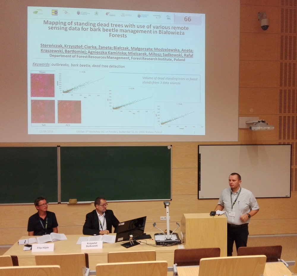
During the Conference the participants were highly interested in presentation about the first results of Life+ ForBioSensing project, conducted by EngD Krzysztof Stereńczak. During the presentation the participants were provided with a poster entitled “Mapping of standing dead trees with use of various remote sensing data for bark beetle management in Białowieża Forests”, developed by EngD Krzysztof Stereńczak, EngD Bartłomiej Kraszewski, MEng Żaneta Piasecka, MEng Małgorzata Białczak, MSc Aneta Modzelewska, MEng. Miłosz Mielcarek and Eng Rafał Sadkowski.
The presentation about the first results of REMBIOFOR project, conducted by MSc Martyna Wietecha, was also highly appreciated. During the presentation the participants were provided with a poster entitled „Tree species classification in temperate forests using airbone hyperspectral data”, developed by EngD Krzysztof Stereńczak and MSc Martyna Wietecha.
The event gathered a lot of domestic and international specialists of forestry and environmental protection, who discussed e.g. about 2D and 3D measurement techniques (e.g LIDAR), automatic classification of remote sensing imagery, new sources of satellite imagery, GIS, GNSS
or digital photogrammetry.