

 Web Content Display
TRAINING ON USING REMOTE SENSING IN ENVIRONMENTAL ANALYSES
During the seminar, our specialists shared their know-how about taking advantage of using professional remote sensing software and GIS in forestry.
Theoretical part was led by project manager, EngD Krzysztof Stereńczak, who presented theoretical introduction and detailed information about aerial laser scanning (ALS) and by MSc Aneta Modzelewska, who presented theoretical introduction about hyperspectral remote sensing and its use in environmental analyses.
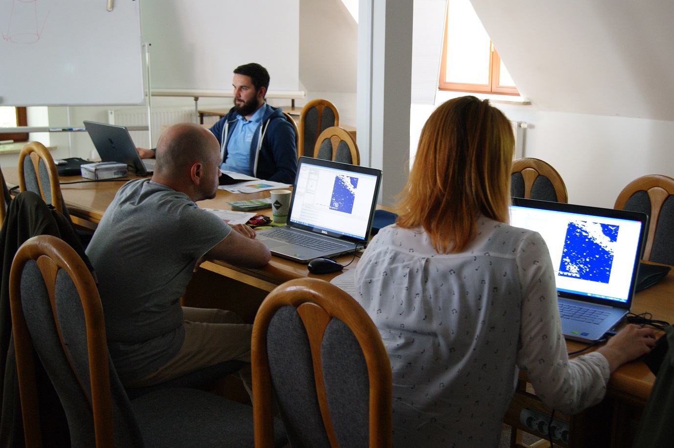
Practical part was led by MEng. Miłosz Mielcarek who talked over SAGA GIS software and presented its basic functionalities. Participants had the opportunity to generate basic products derived from LiDAR point cloud (DTM, DSM, nDSM) and perform some basic terrain- and hydrographic- analysis, basing on Digital Terrain Model. EngD Bartłomiej Kraszewski presented how to use digital elevation model and remote sensing imagery in QGIS software for tree stands analyses.