

 Web Content Display
MEETING ON USING REMOTE SENSING IN ENVIRONMENTAL ANALYSES
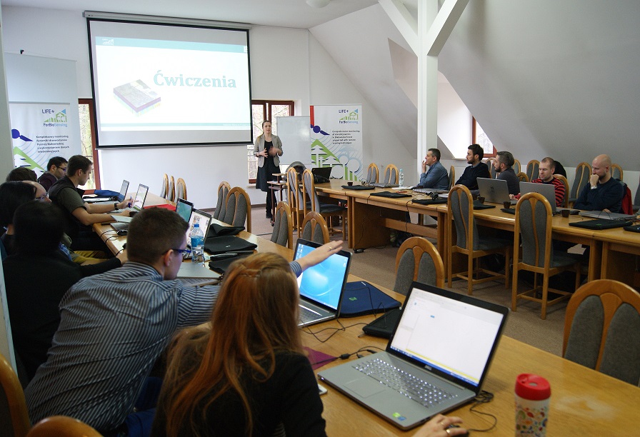
Krzysztof Stereńczak, EngD and Bartłomiej Kraszewski, EngD at the beginning of the meeting introduced participants to the basis of applying remote sensing in environmental analysis. The lecture concerned in particular the theory of airborne laser scanning data processing and remote sensing images classification. Another issue discussed during the lecture was the possibility of integration remote sensing data from different sensors for advanced environmental analysis.
Acquisition and processing of hyperspectral data was one of the topics presented during the meeting. The module consisted of lecture and hands-on part led by Aneta Modzelewska. During the lecture, main characteristics of hyperspectral imagery were discussed. Then, selected elements of hyperspectral data processing were presented in practice. The meeting participants analysed spectral characteristics of different objects and classified image to different species of trees. All the analyses were conducted with the use of QGIS software.
Within the framework of the module concerning LIDAR point cloud processing and analysing in SAGA GIS software (led by MEng Miłosz Mielcarek, MEng), the participants had the opportunity to get to know the software and to generate basic terrain analysis, based on the data collected with the use of Airborne Laser Scanning. During the training the participants had a chance to generate basic products derived from LiDAR point cloud such as: Digital Terrain Model (DTM), Digital Surface Model (DSM), normalized Digital Surface Modeln (DSM). On the basis of generated models it was possible to perform some basic terrain analysis (aspect map, slope map and hillshade of the terrain). The last part of the module was about hydrographic analysis: the participants had the opportunity to learn how to generate water channel network on the basis of DTM and to verify it with the existing vector data (real channel network).
Bartłomiej Kraszewski, EngD introduced participants to the possibilities of SAGA GIS software in the detection of single trees crowns and acquisition of attributes describing them from airborne laser scanning products. The second part was mainly focused on the potential of integration hyperspectral images classification results with crown trees layer in QGIS software. Integrated layer was used to present advanced spatial analysis.
GDEP representatives were also familiarise with the substantive reasons and the first results of ForBioSensing project.
For almost 30 participants there were prepared some materials with main topics from the meeting.